
Local @SeattleWXGuy Michael Snyder concurs with the National Weather Service that we may see some snow in the South King County region this week, but it will likely be mixed with rain.
As is typical with weather predictions for the Northwest, experts aren’t sure when, where or how much of the white stuff may fall – but the chances are definitely increasing due to an impending system and cold air.
Temperatures will be cold enough (around 28 degrees) that Burien’s Severe Weather Shelter will open Monday night, Nov. 28 (and volunteers/donations are still needed). But highs will fluctuate from below to to over freezing, which means whatever might fall from the sky won’t always be snow, and whatever white stuff did fall and stick will likely melt.
So expect more of a “wintry mix,” maybe?
“Looking ahead there remains a lot of uncertainty with the forecast for Tuesday-Wednesday,” National Weather Service forecasters said. “Lowland snow is expected, how much is the question.”
“Precipitation type is going to be very dependent on precipitation rates as well as how much cold air moves into the area today and early tomorrow. Conditions are going to vary throughout the region over the course of this week.”
So, it’s best to be prepared (i.e.: have you winterized your faucets yet?), but don’t worry too much about finding your old sled just yet.
For the latest weather news, check our Weather page here, or subscribe to Snyder’s Pacific Northwest Weather Watch YouTube channel here.
Here’s his latest video forecast, released Monday morning, Nov. 28, 2022:
-
- Monday: A 50 percent chance of snow showers. Partly sunny, with a high near 40. North wind around 16 mph, with gusts as high as 23 mph. Total daytime snow accumulation of less than a half inch possible.
- Monday Night: A 30 percent chance of snow showers before 10pm. Mostly cloudy, with a low around 28. North northwest wind 6 to 11 mph becoming light and variable. New snow accumulation of less than a half inch possible.
- Tuesday: Snow showers, mainly after 4pm. High near 37. Wind chill values between 23 and 29. South southeast wind 5 to 7 mph. Chance of precipitation is 80%. New snow accumulation of around an inch possible.
- Tuesday Night: Rain and snow, becoming all rain after 1am. Low around 33. South southeast wind 10 to 16 mph, with gusts as high as 32 mph. Chance of precipitation is 100%. New snow accumulation of less than one inch possible.
- Wednesday: Rain. High near 41. Southwest wind 8 to 15 mph, with gusts as high as 28 mph. Chance of precipitation is 100%. New precipitation amounts between a half and three quarters of an inch possible.
- Wednesday Night: Rain before 1am, then rain and snow likely. Low around 33. Chance of precipitation is 90%. New snow accumulation of less than a half inch possible.
- Thursday:Rain and snow likely. Mostly cloudy, with a high near 39. Chance of precipitation is 70%. New snow accumulation of less than a half inch possible.
- Thursday Night: Rain and snow likely, becoming all snow after 10pm. Mostly cloudy, with a low around 29.
- Friday: Snow likely before 10am, then rain and snow likely. Mostly cloudy, with a high near 40.
- Friday Night: Rain likely. Mostly cloudy, with a low around 33.
- Saturday: Rain likely. Mostly cloudy, with a high near 40.
- Saturday Night: A chance of rain and snow. Mostly cloudy, with a low around 30.
- Sunday: slight chance of rain and snow. Partly sunny, with a high near 39.
Pacific NW Winter Storm update! https://t.co/Yiq20cjHfJ via @YouTube pic.twitter.com/uBsgJBg5nZ
— Michael Snyder (@SeattleWXGuy) November 28, 2022
Just that little shower brought some loud hail #wawx pic.twitter.com/YGcc0AJBq5
— Michael Snyder (@SeattleWXGuy) November 28, 2022
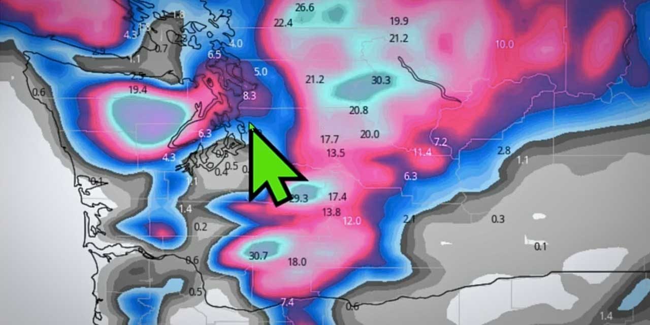
The main reason why the Tue/Wed storm will not be able to introduce the really cold arctic air needed for a high impact snow event into areas west of cascades. There still is some potential for measurable snowfall Tue night/Wed morning, just not a high end event. #bcstorm #wawx pic.twitter.com/KXHJwmXoBl
— Michael Snyder (@SeattleWXGuy) November 28, 2022

Recent Comments